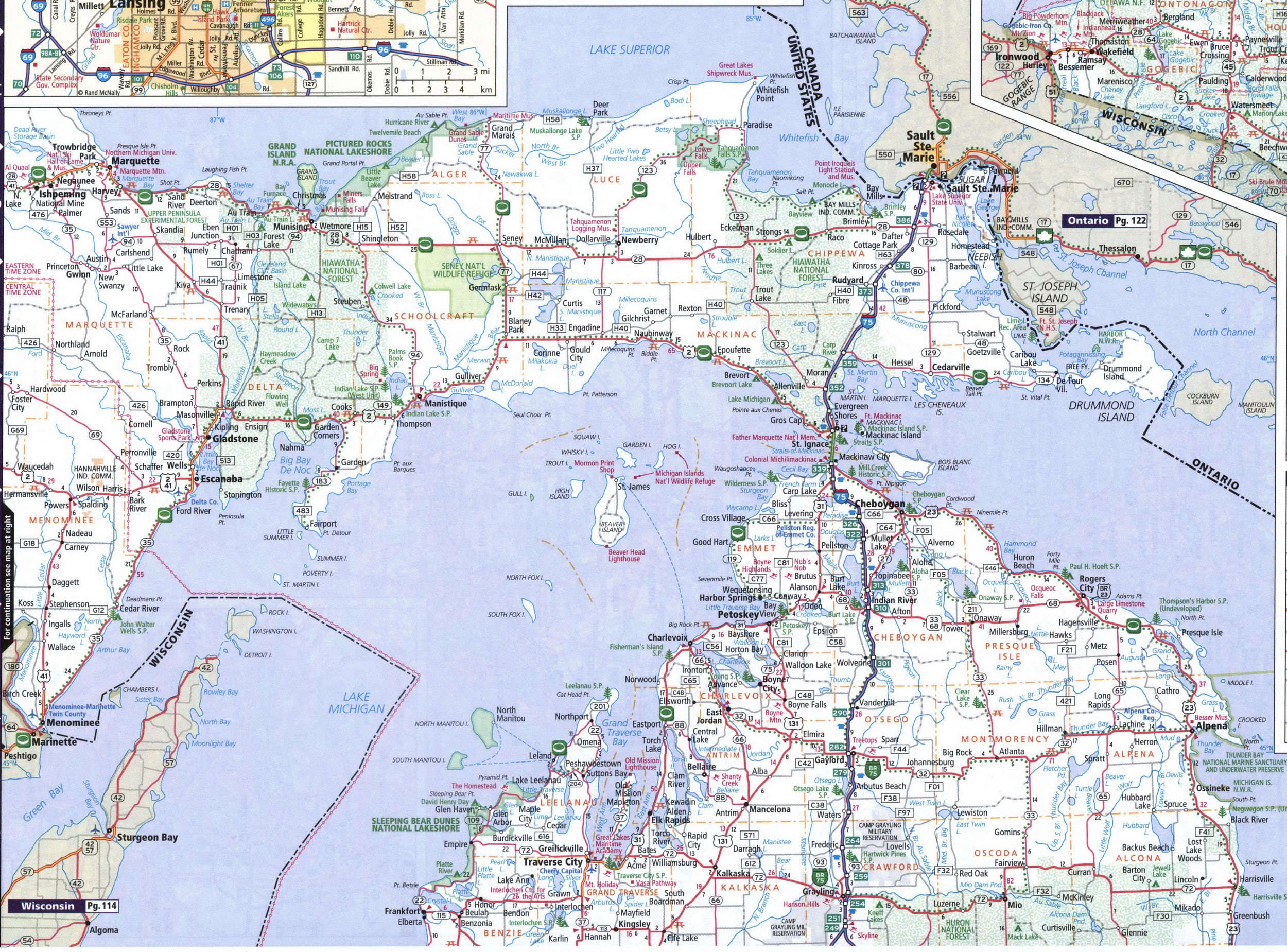
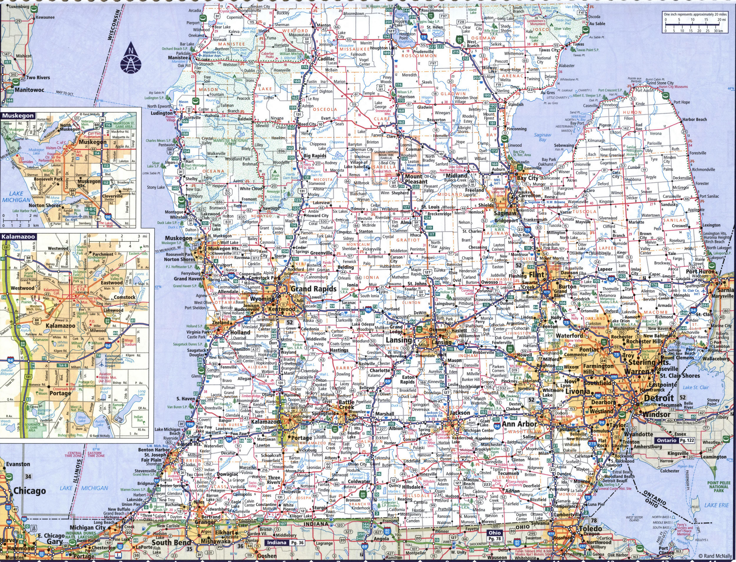
Map of Michigan state USA with roads and cities Ann Arbor, Battle Creek, Detroit, Flint, Grand Rapids, Jackson, Kalamazoo, Lansing, Muskegon, Port Huron, Saginaw, Sault Ste Marie, Traverse City
Map of Michigan with cities and towns. Michigan road map with mile markers
Detailed large map of Michigan with cities and towns. This map shows all of Michigan's state and national parks.
Below is a map legend with a description of the symbols of roads and highways, recreation areas and points of interest.

Road map of southern Michigan
