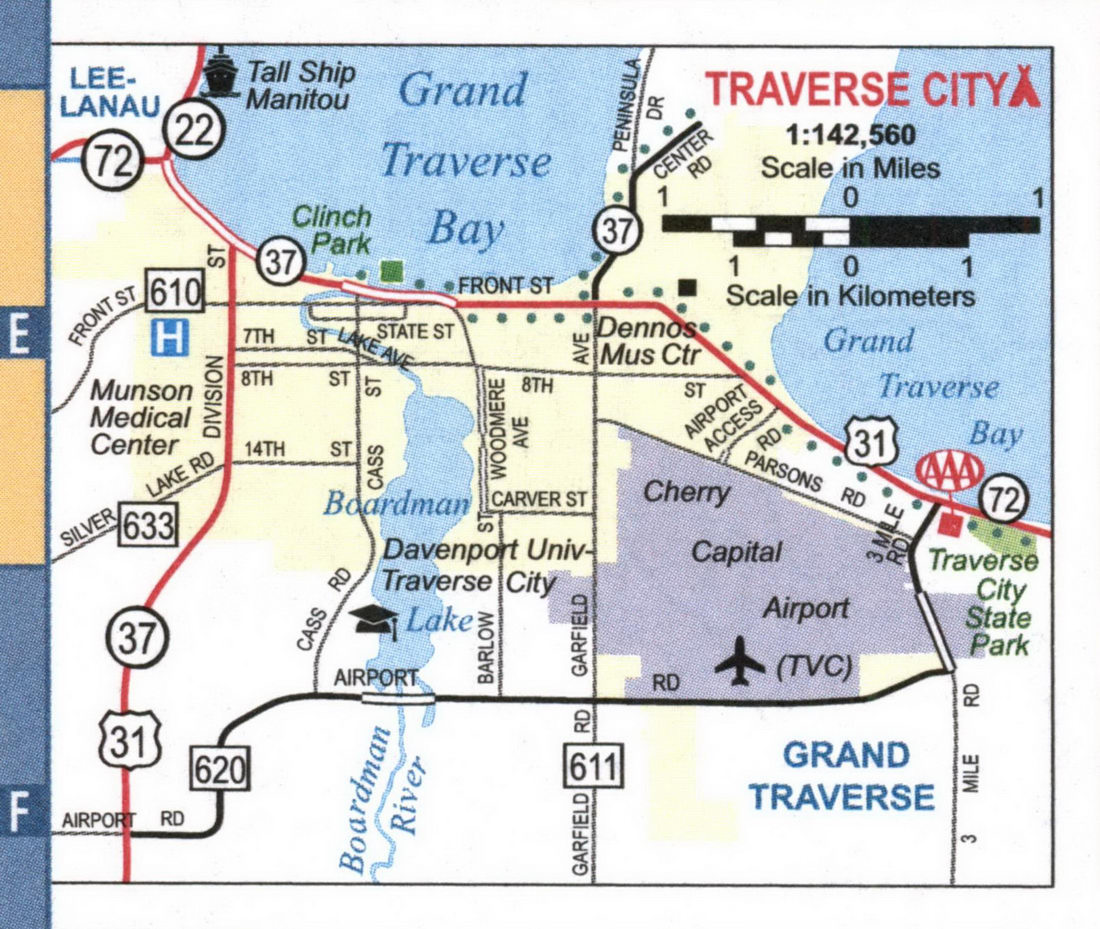
Detailed maps of the cities of Ann Arbor, Battle Creek, Detroit, Flint, Grand Rapids, Jackson, Kalamazoo, Lansing, Muskegon, Port Huron, Saginaw, Sault Ste Marie, and Traverse City MI
Maps of all major cities in Michigan: Ann Arbor, Battle Creek, Detroit, Flint, Grand Rapids, Jackson, Kalamazoo, Lansing, Muskegon, Port Huron, Saginaw, Sault Ste Marie, and Traverse City MI
Michigan's largest cities are Ann Arbor, Battle Creek, Detroit, Flint, Grand Rapids, Jackson, Kalamazoo, Lansing, Muskegon, Port Huron, Saginaw, Sault Ste Marie, and Traverse City MI. Maps of the roadways of these cities are shown here. Cities are arranged in alphabetical order. All images are printable.
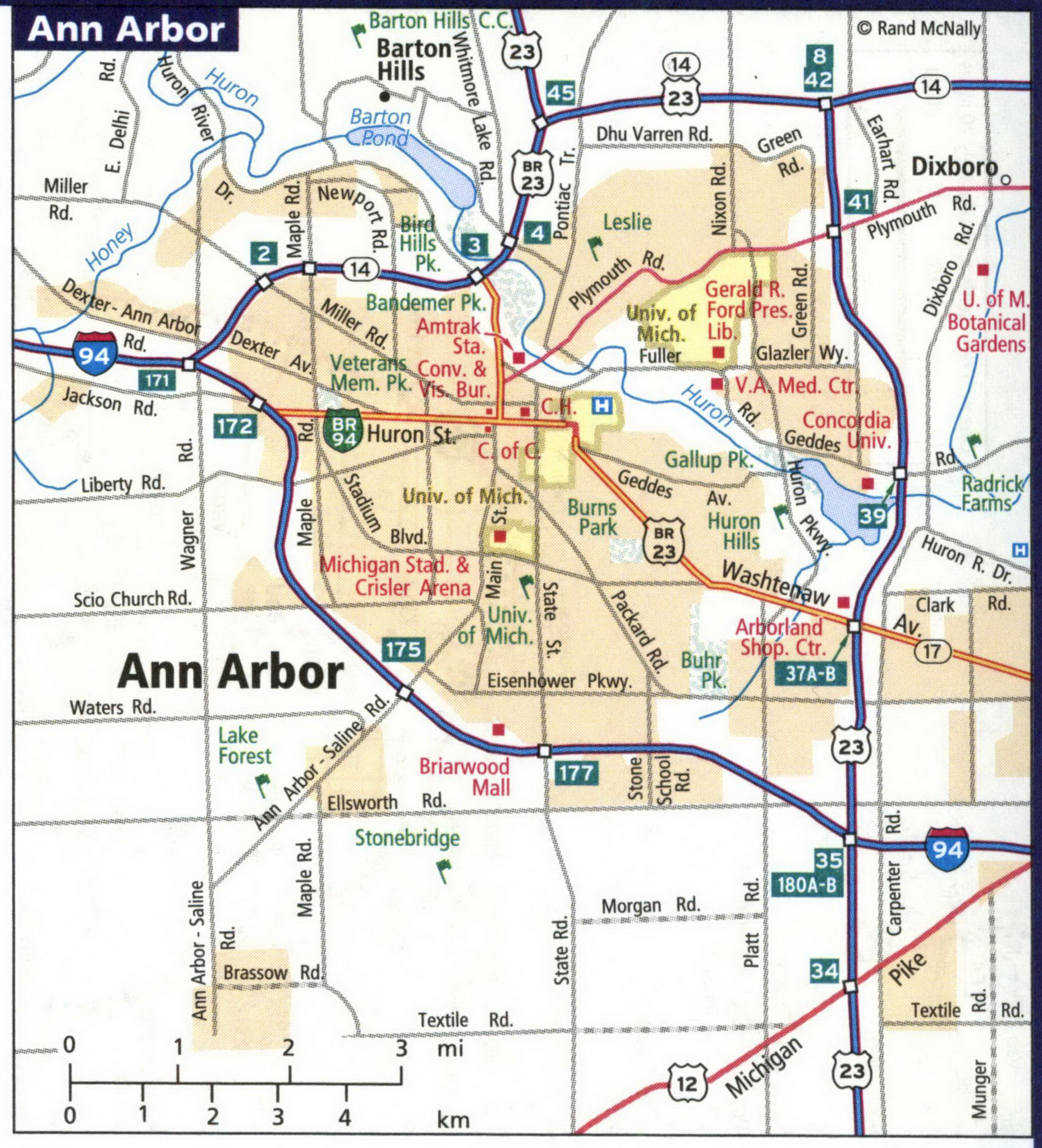
Detailed street map of Battle Creek city.
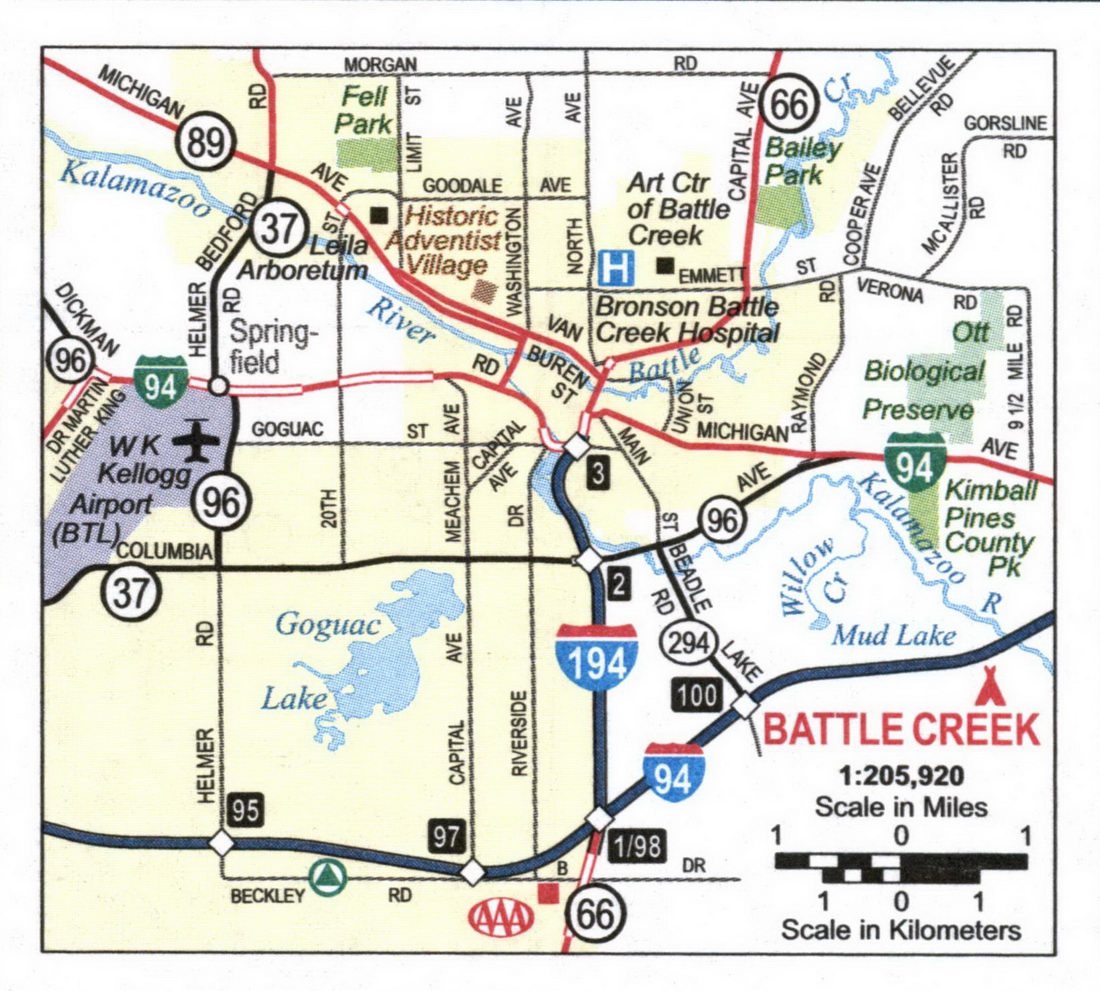
Detailed street map of Detroit city and Downtown Detroit.
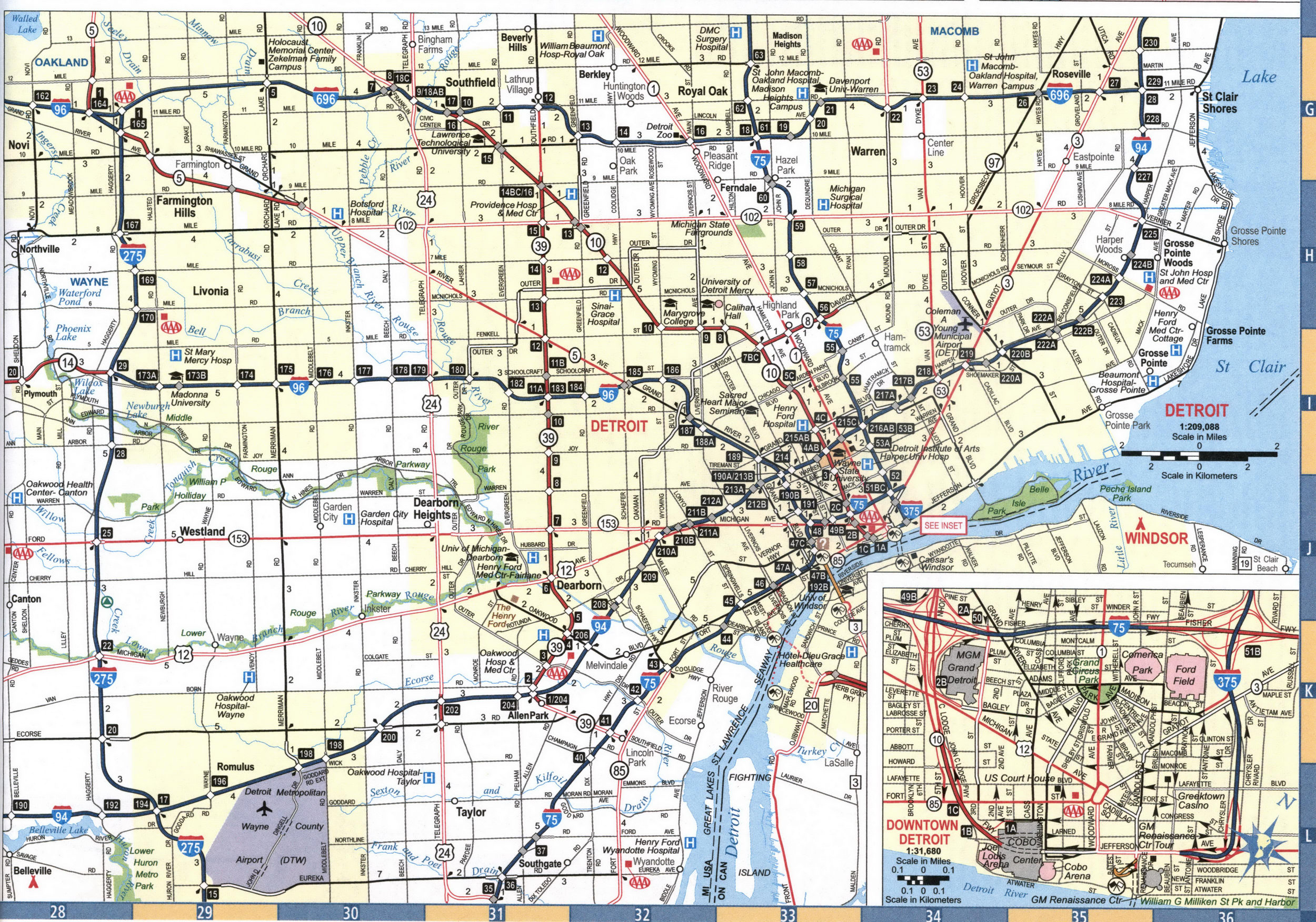
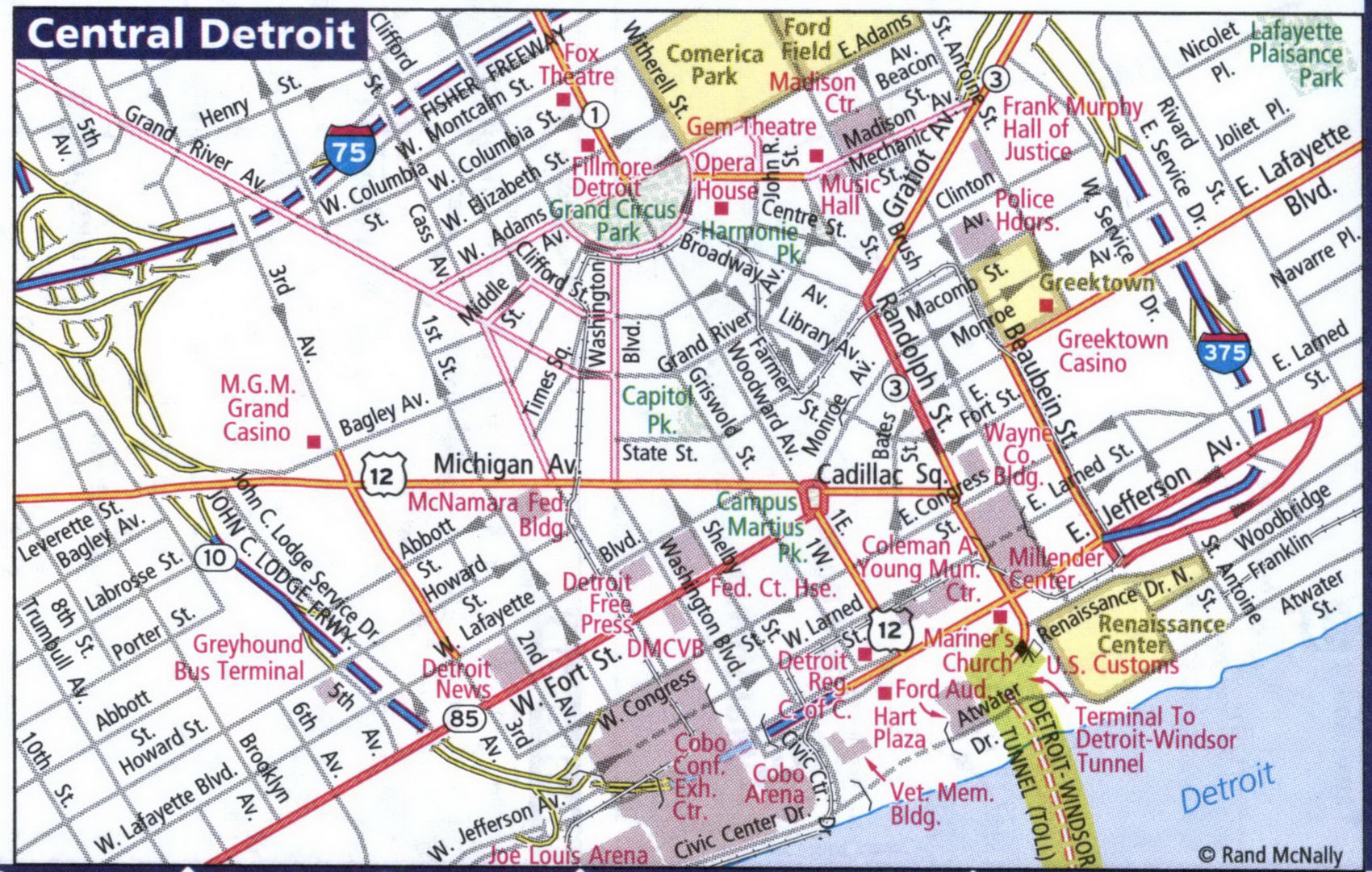
Detailed street map of Central Detroit city.
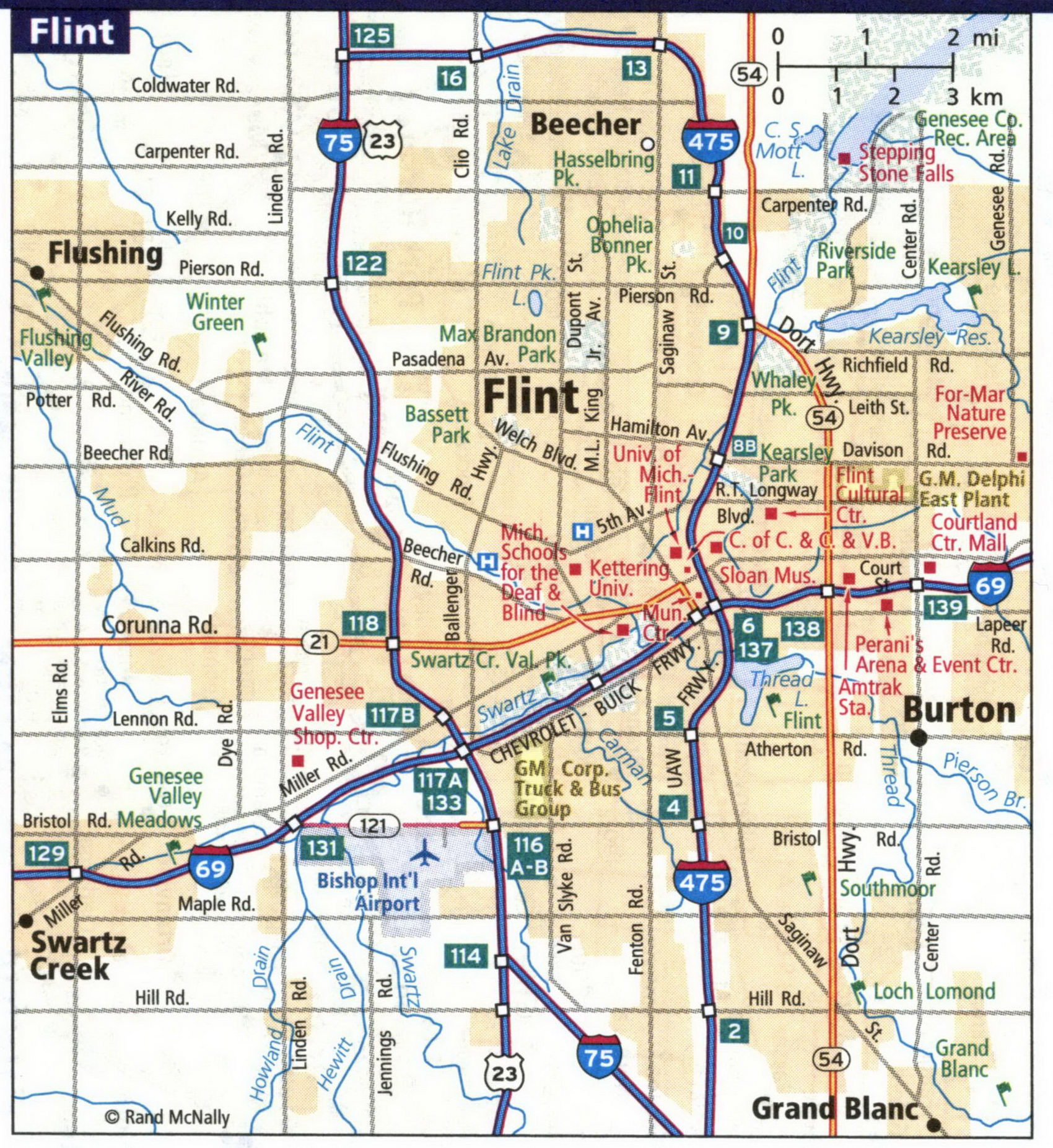
Detailed street map of Flint city.
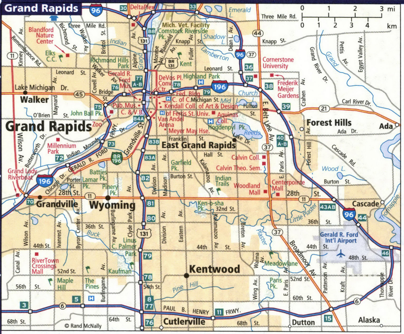
Detailed street map of Grand Rapids city.
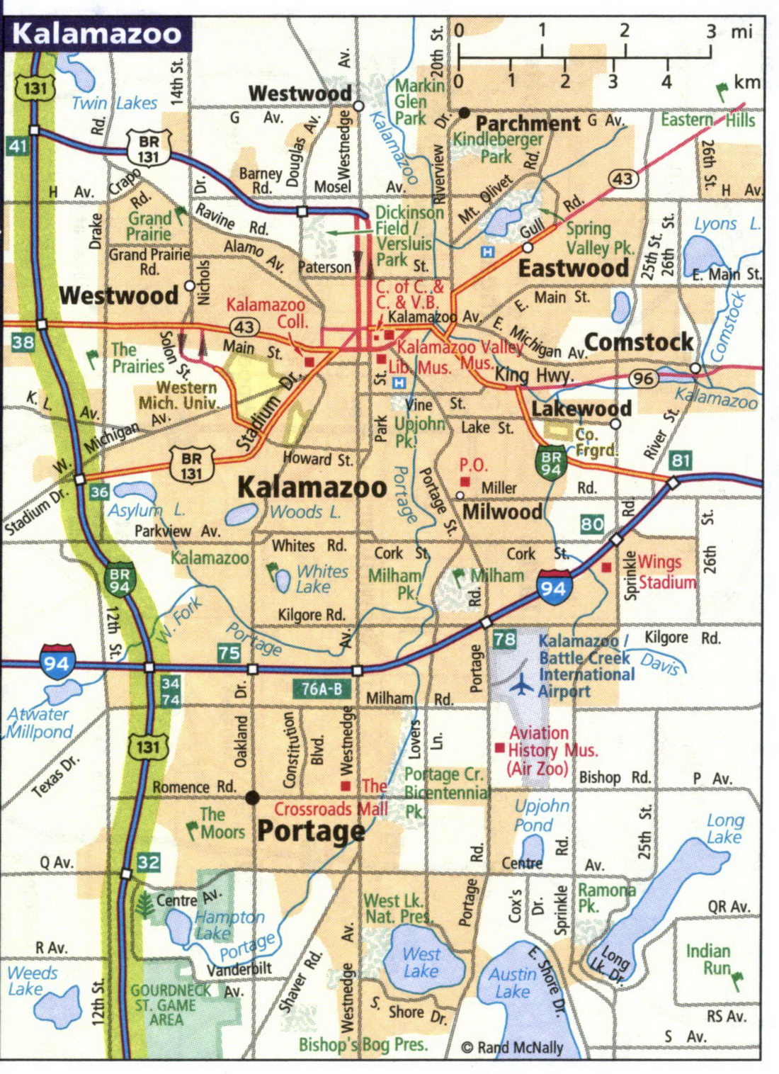
Detailed street map of Kalamazoo city.
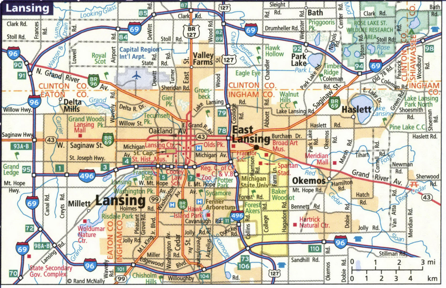
Detailed street map of Lansing city.
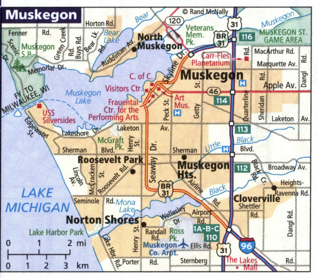
Detailed street map of Muskegon city.
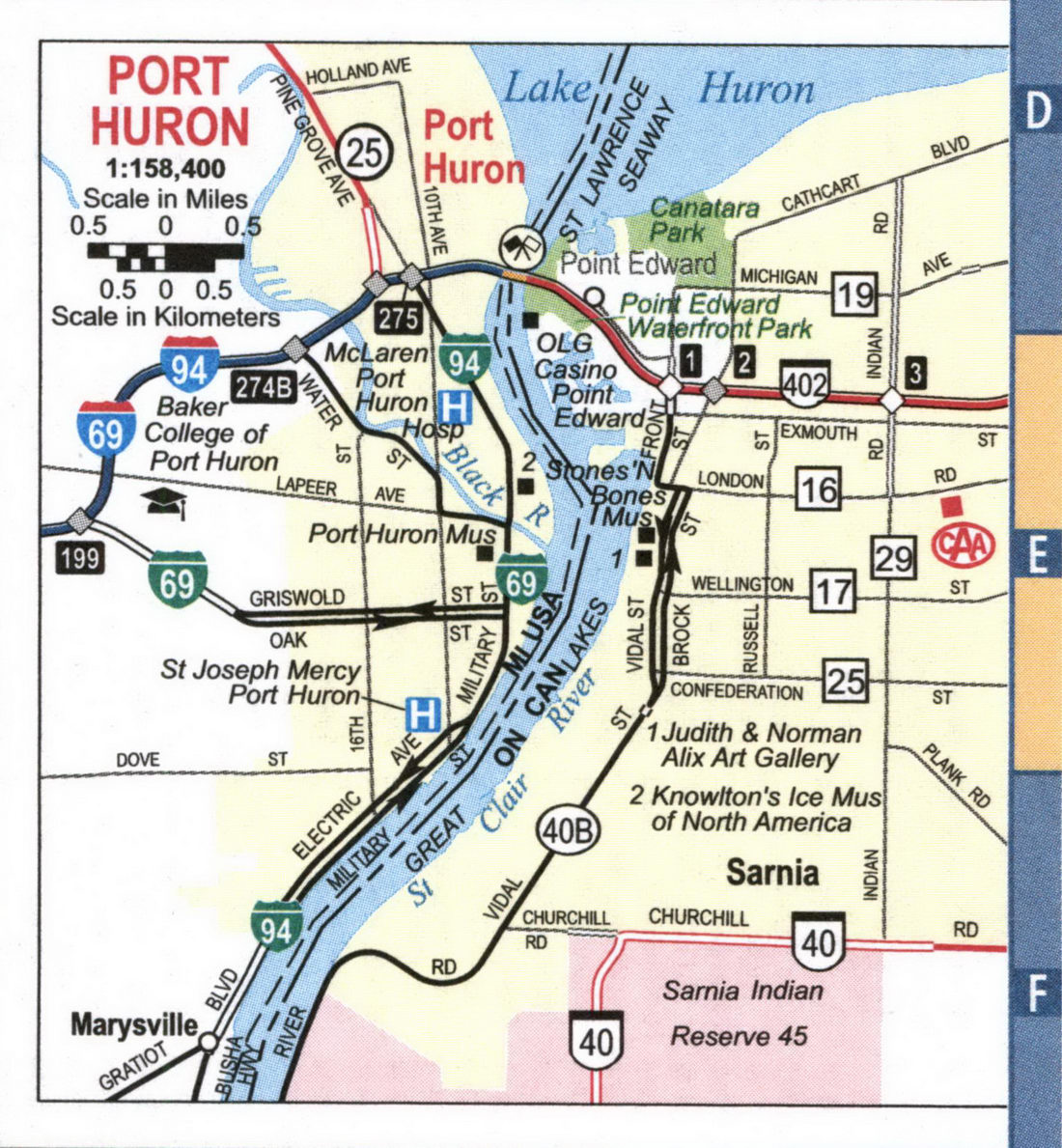
Detailed street map of Port Huron city.
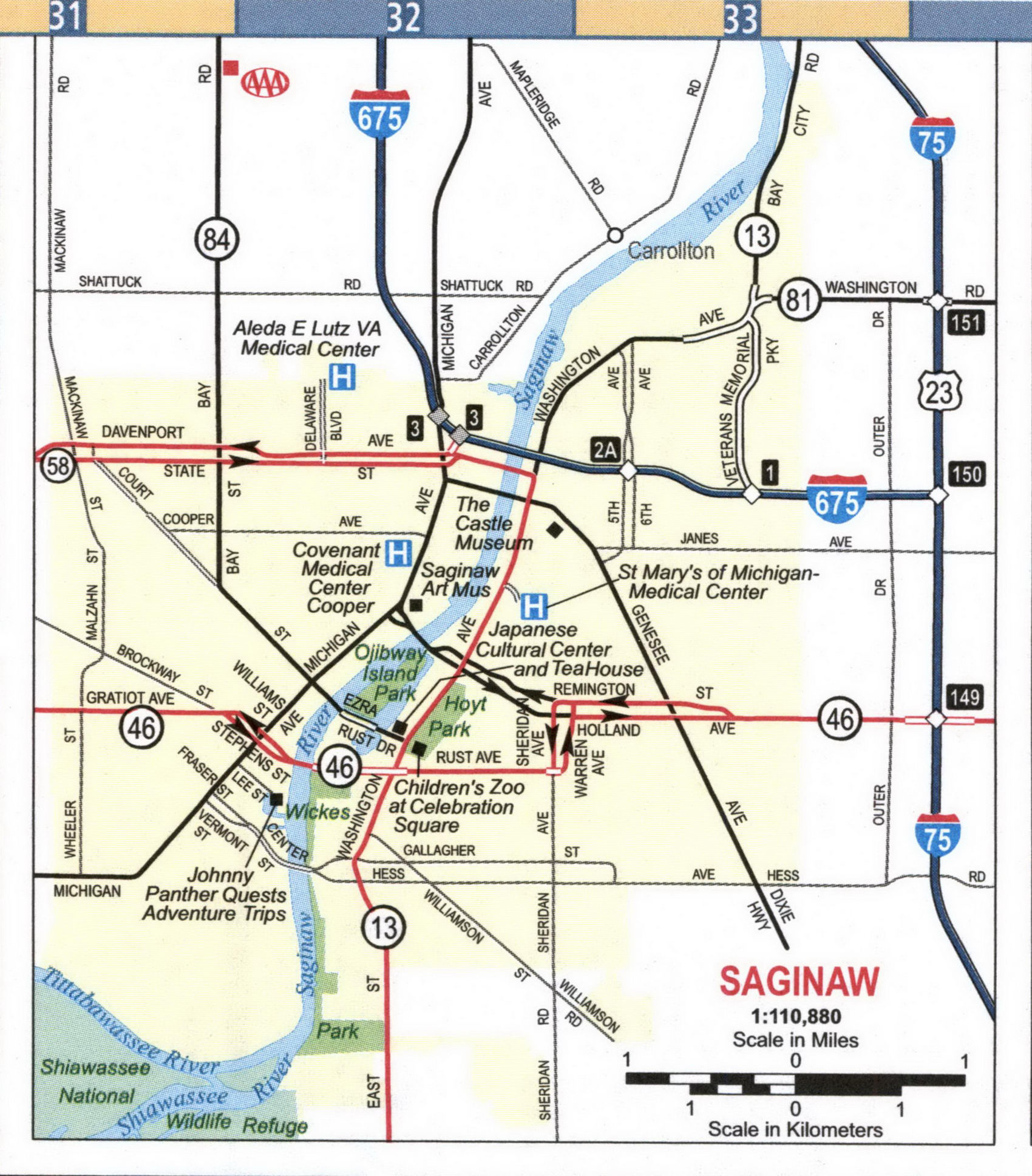
Detailed street map of Saginaw city.
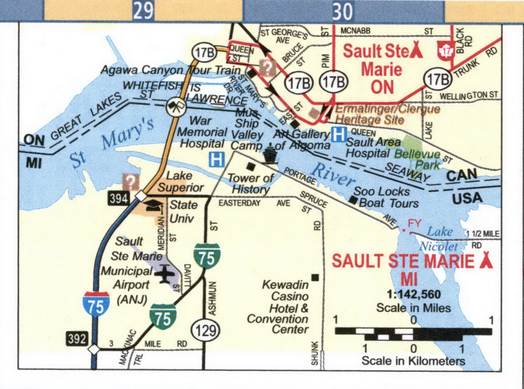
Detailed street map of Sault Ste Marie city.
Detailed street map of Traverse City.
