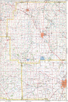
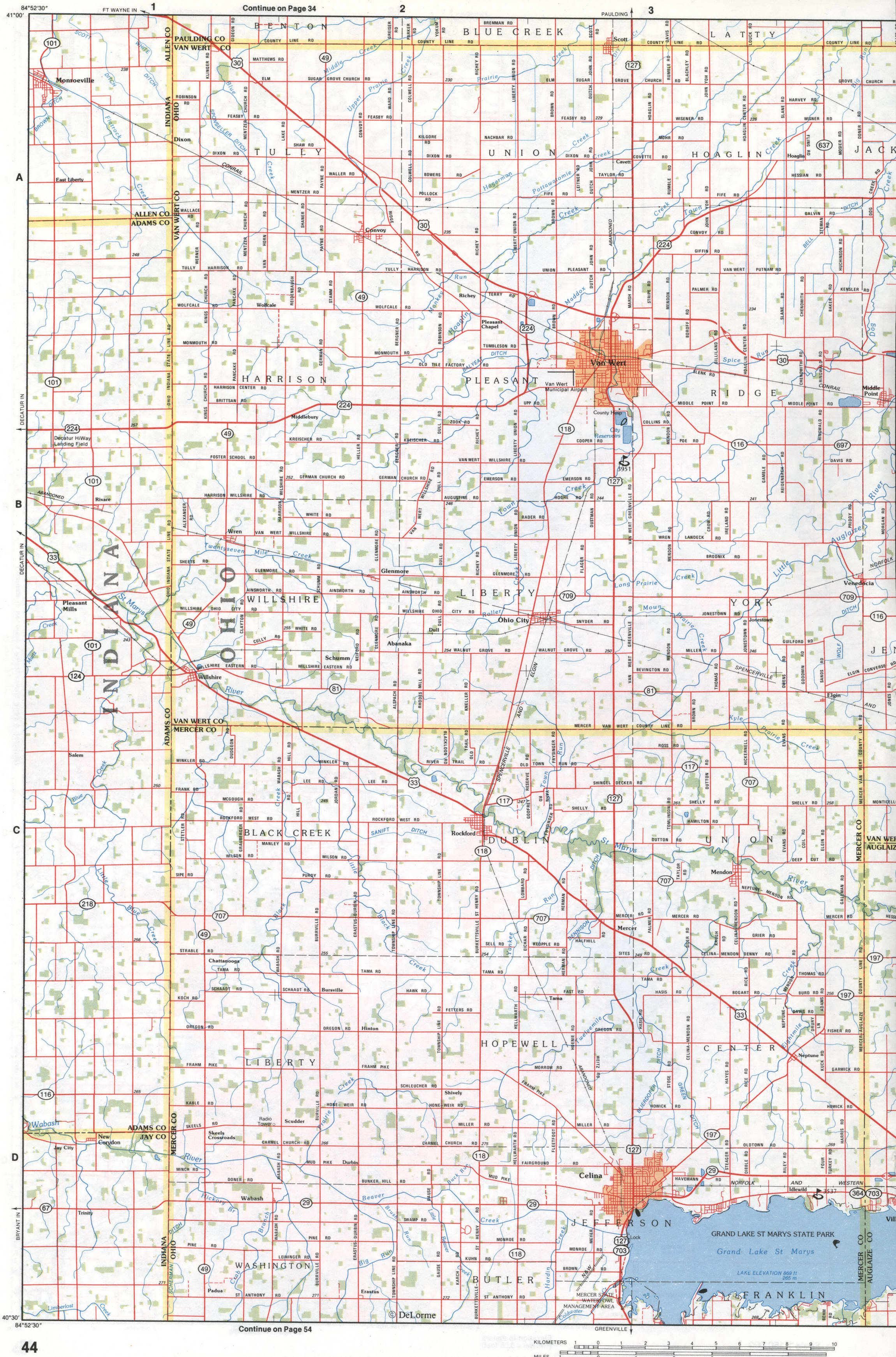
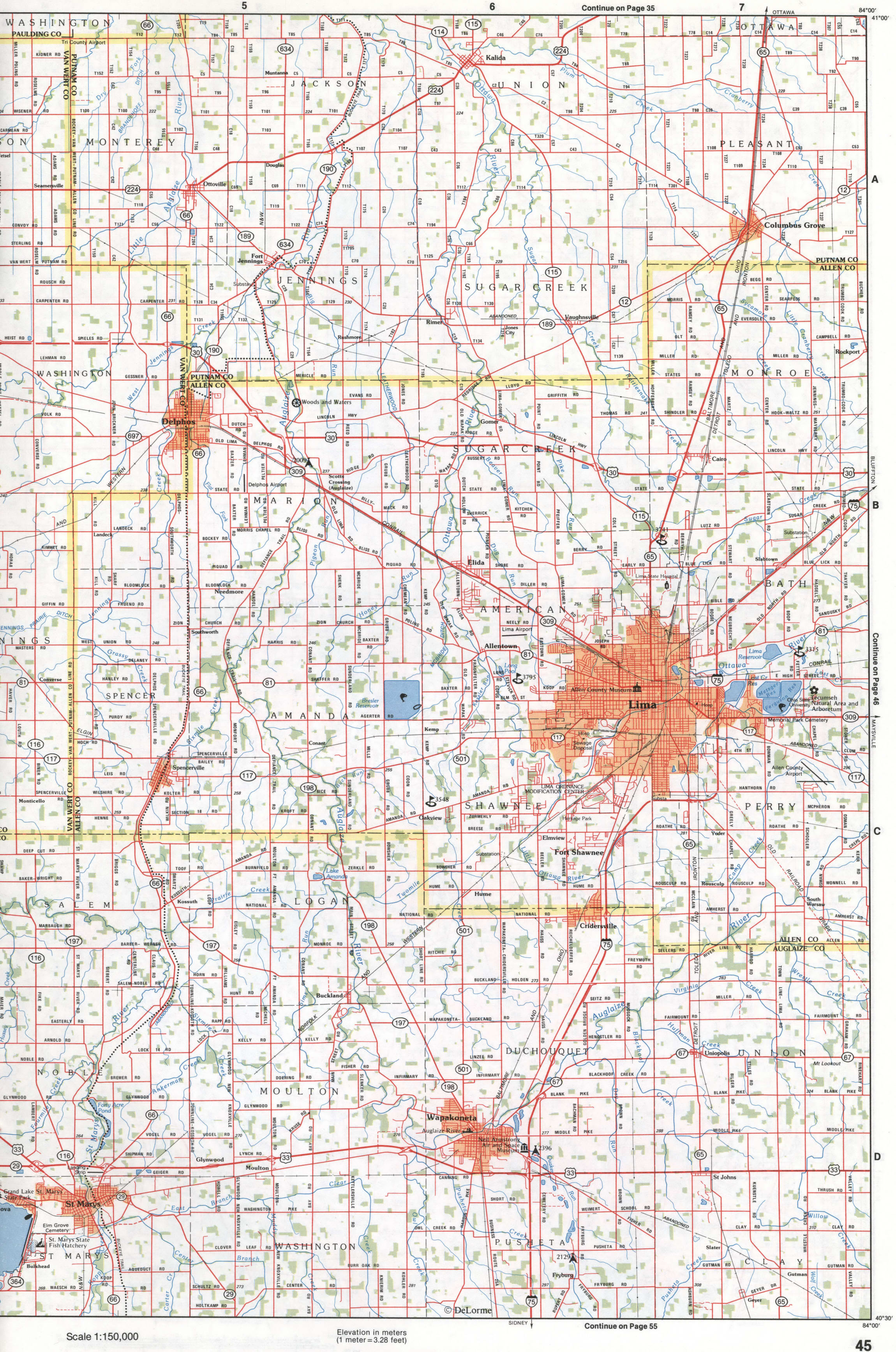
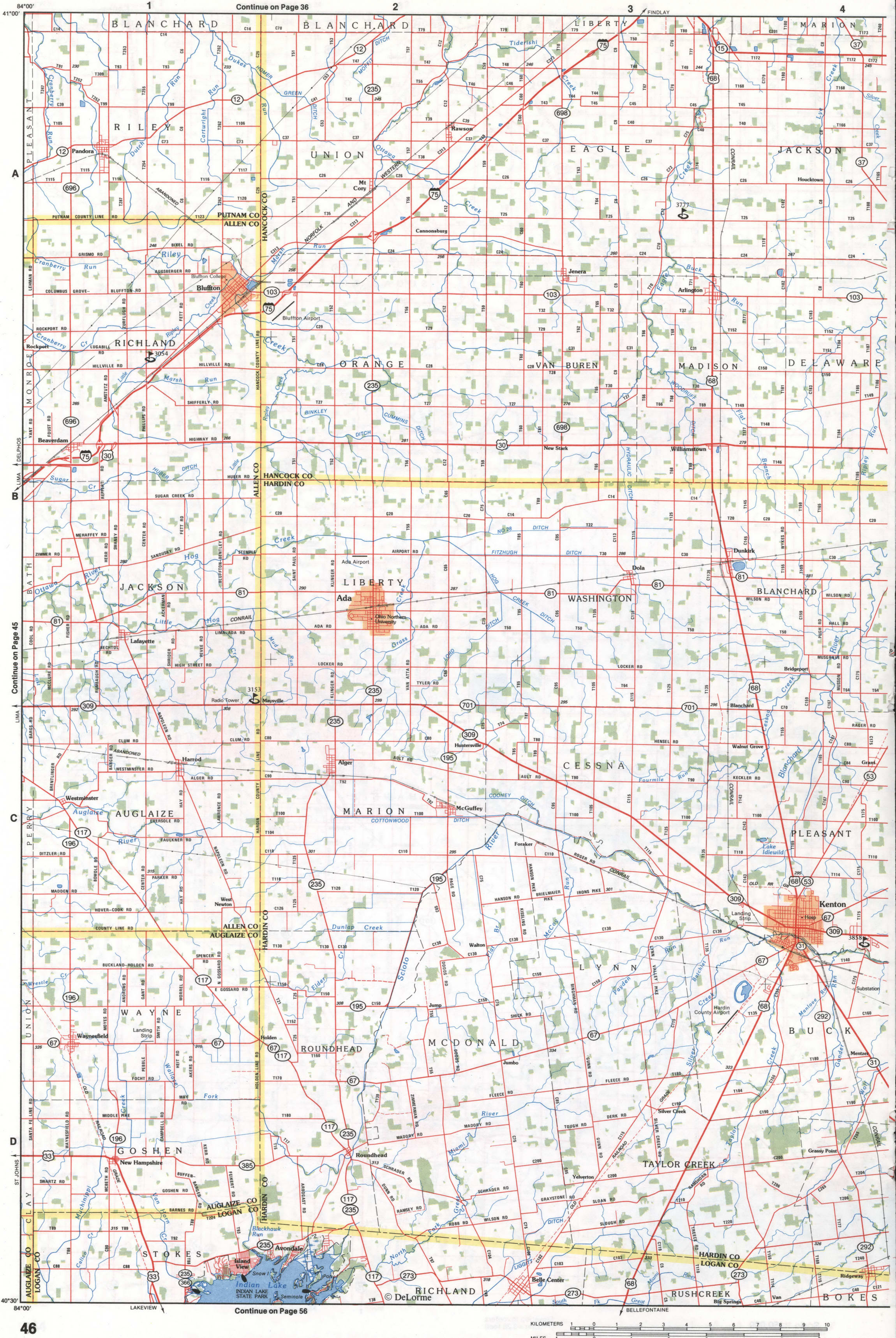
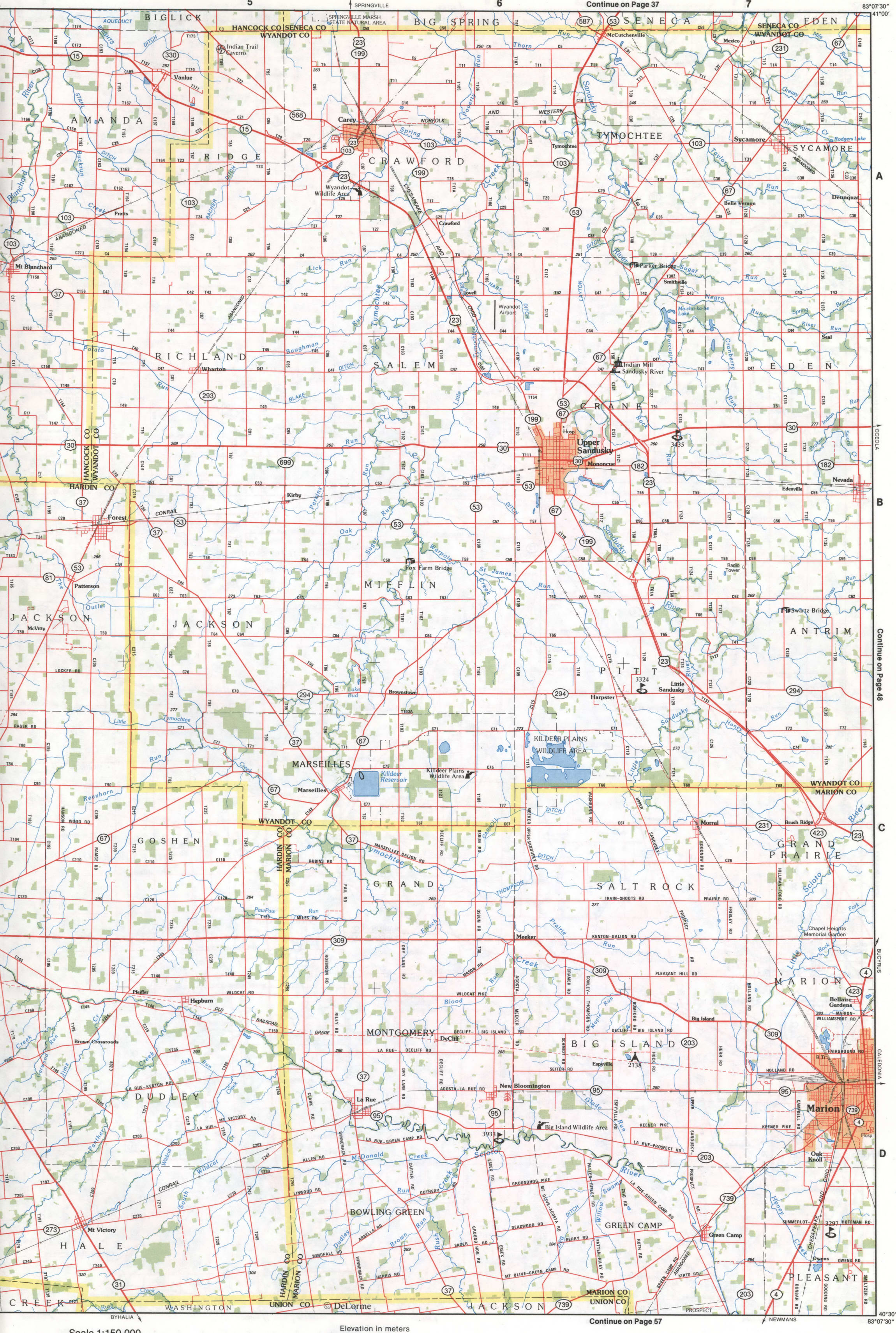
Northwestern Ohio map. Map of Northwest Ohio with all cities and towns, highways, and dirt roads
A large map of northwestern Ohio with county borders and all towns
Northwest Ohio on the map. Detailed map of the northwestern part of Ohio with cities, roads, and county boundaries.
The map of the northwestern region of Ohio consists of 15 large-scale segments.
Map of Ohio in the area of Toledo, Lima, Bowling Green, Sandusky.