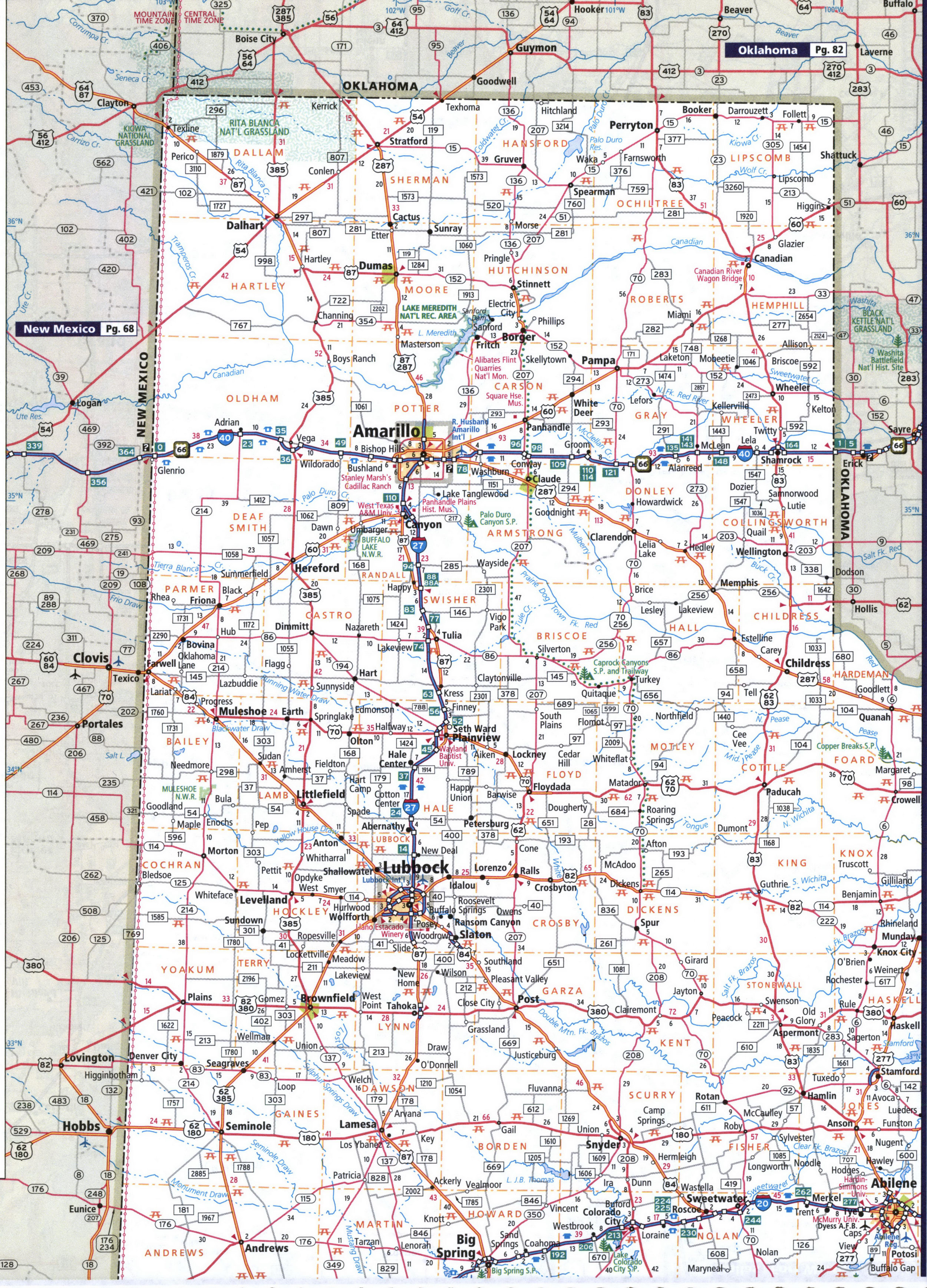
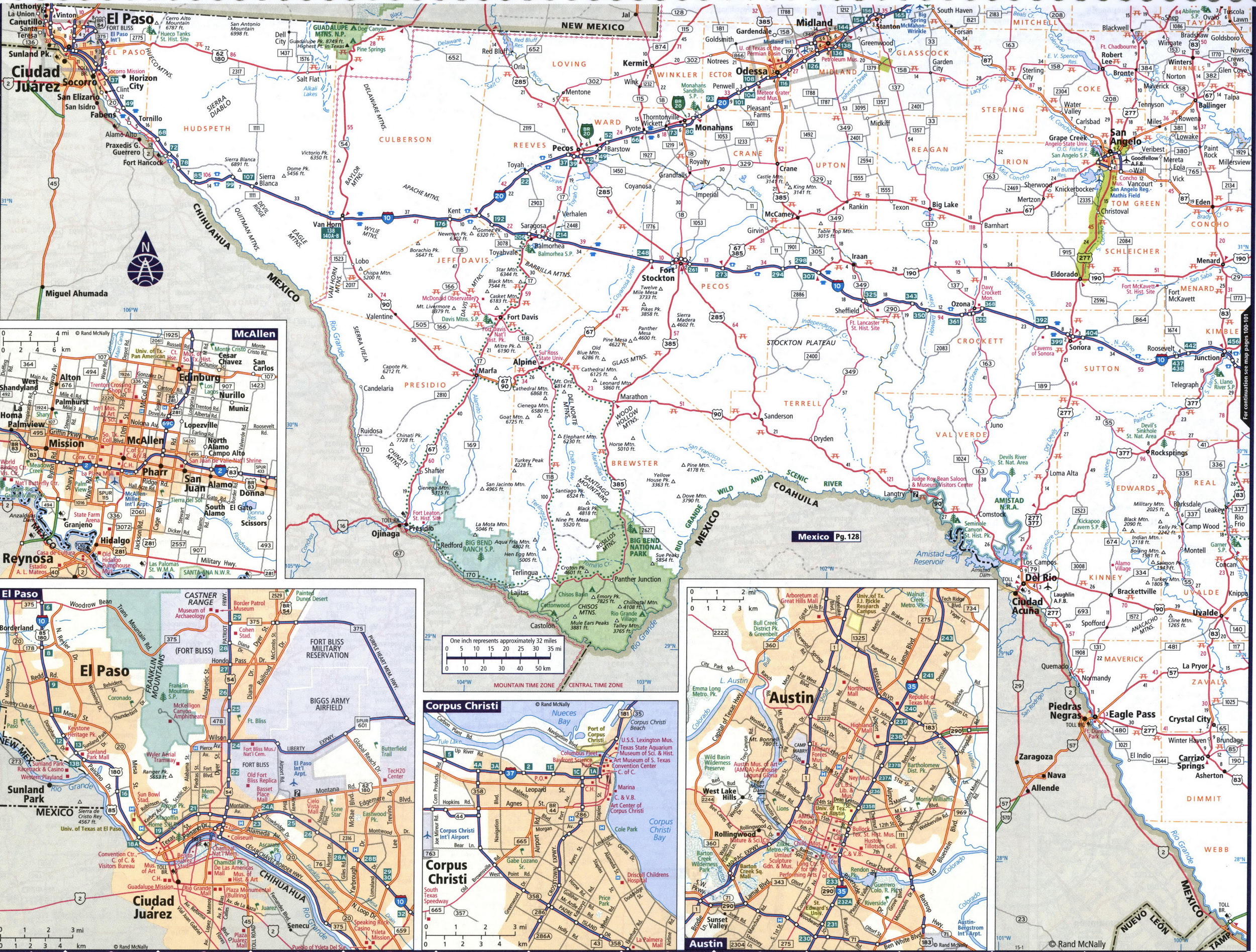
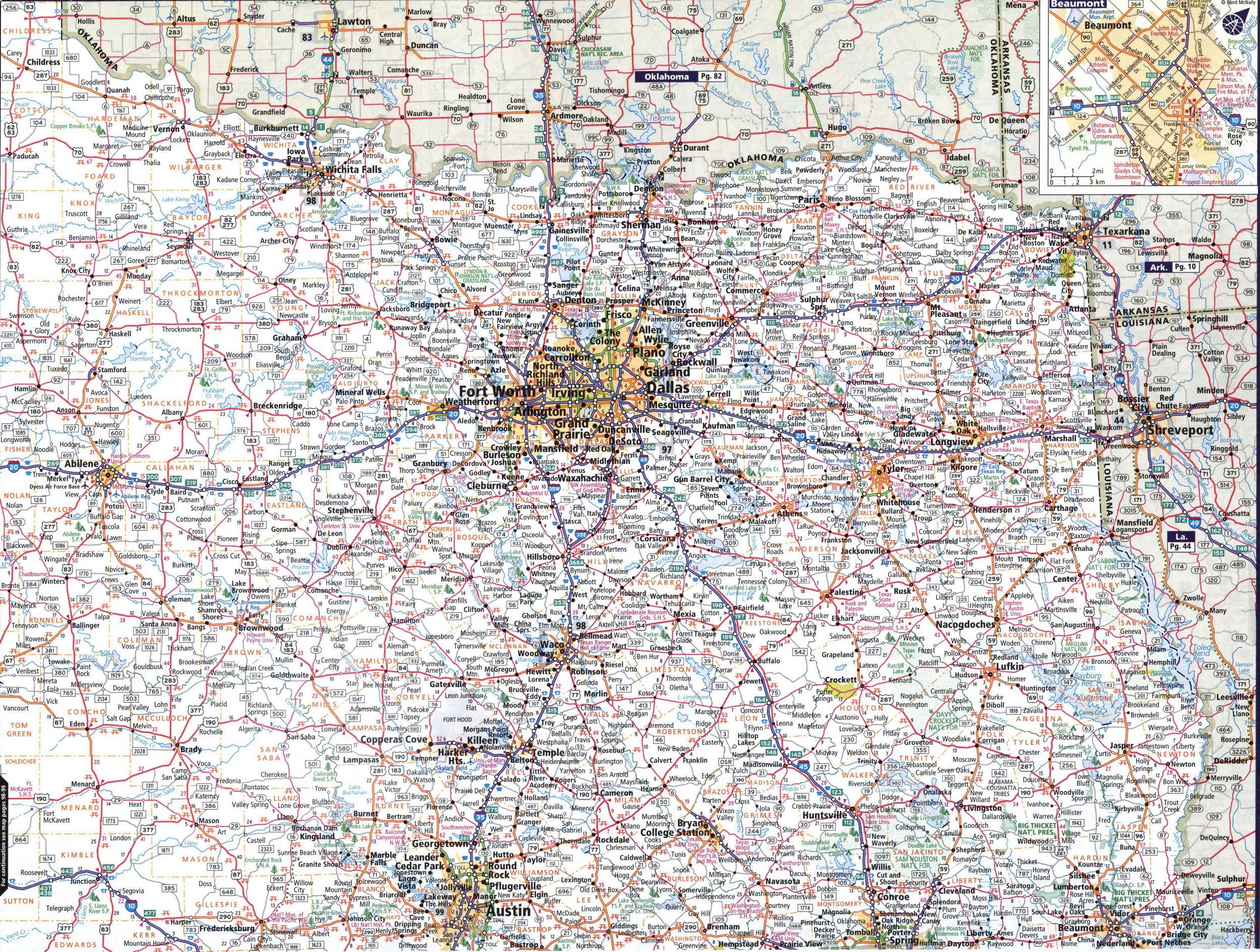
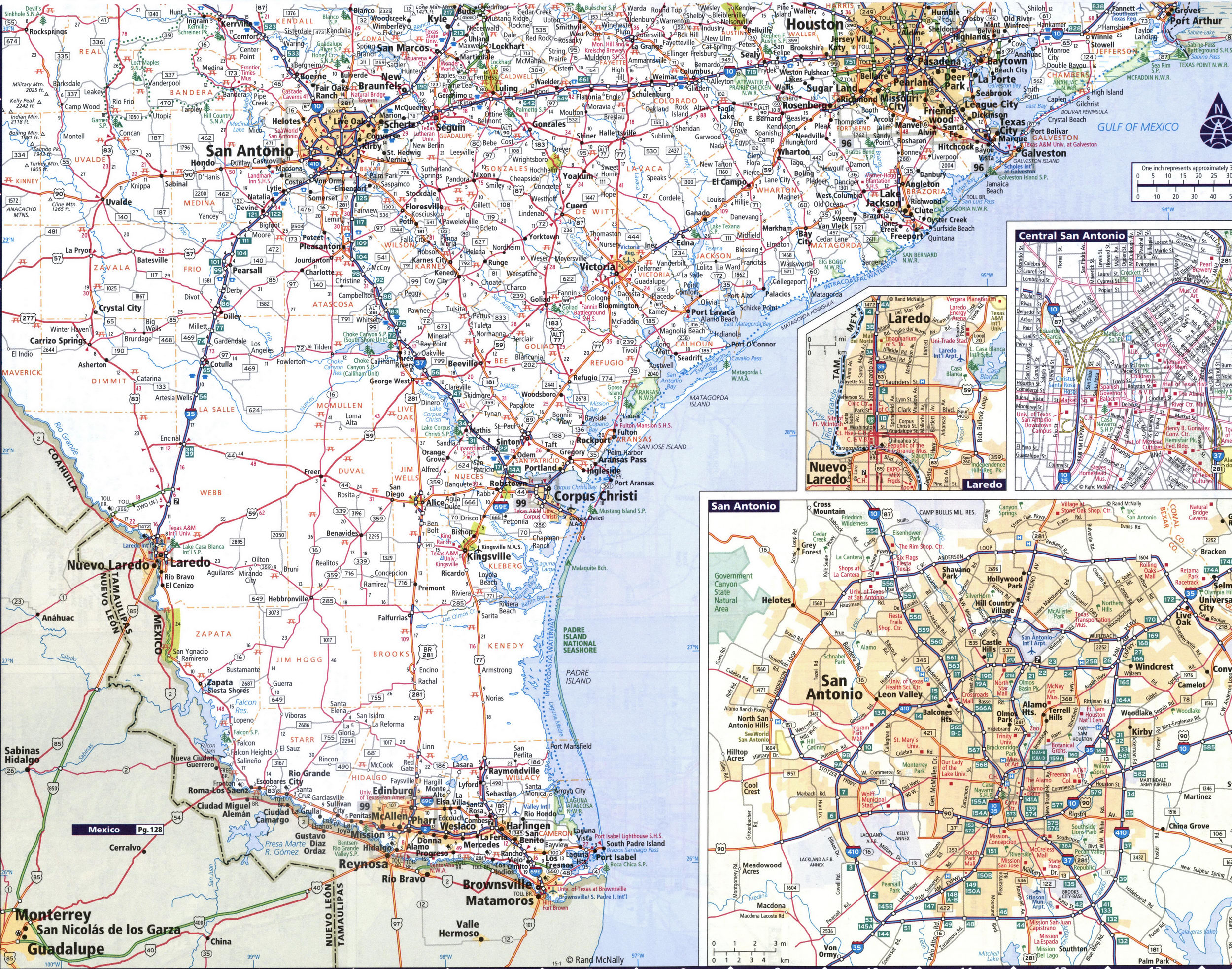
Map of Texas state USA with roads and cities Abilene, Amarillo, Austin, Beaumont, Corpus Christi, Dallas, El Paso, Galveston, Houston, Laredo, Lubbock, San Antonio, Waco, Wichita Falls
Map of Texas with cities and towns. Texas road map with mile markers
Detailed large map of Texas with cities and towns. This map shows all of Texas' state and national parks.
Below is a map legend with a description of the symbols of roads and highways, recreation areas and points of interest.


Road map of north-east Texas

Road map of south-east Texas
