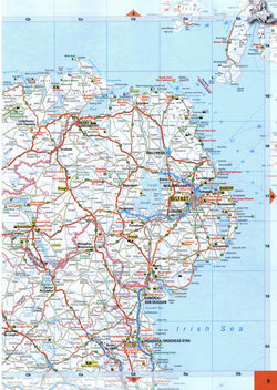
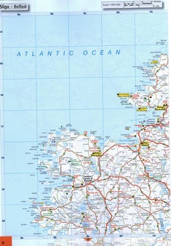
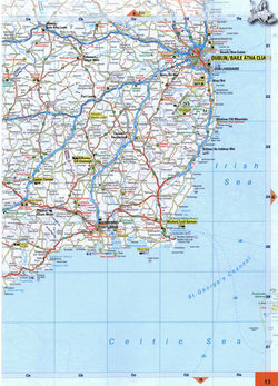
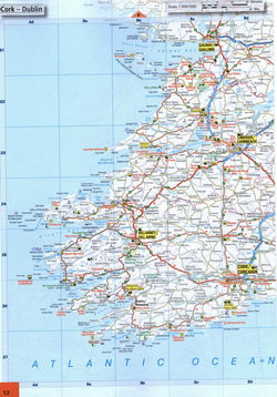
Detailed map of the Island Ireland Eire at 1cm:9km scale with cities and roads
Map of the Republic of Ireland and Northern Ireland
Detailed map of the Republic of Ireland and Northern Ireland with cities and roads, ports and attractions. Roads map of the Republic of Ireland and Northern Ireland. The map of the island of Ireland shows the cities of Dublin, Belfast, Derry, Drogheda, Sligo, Ballina, Galway, Limerick, Cork, and Waterford.


