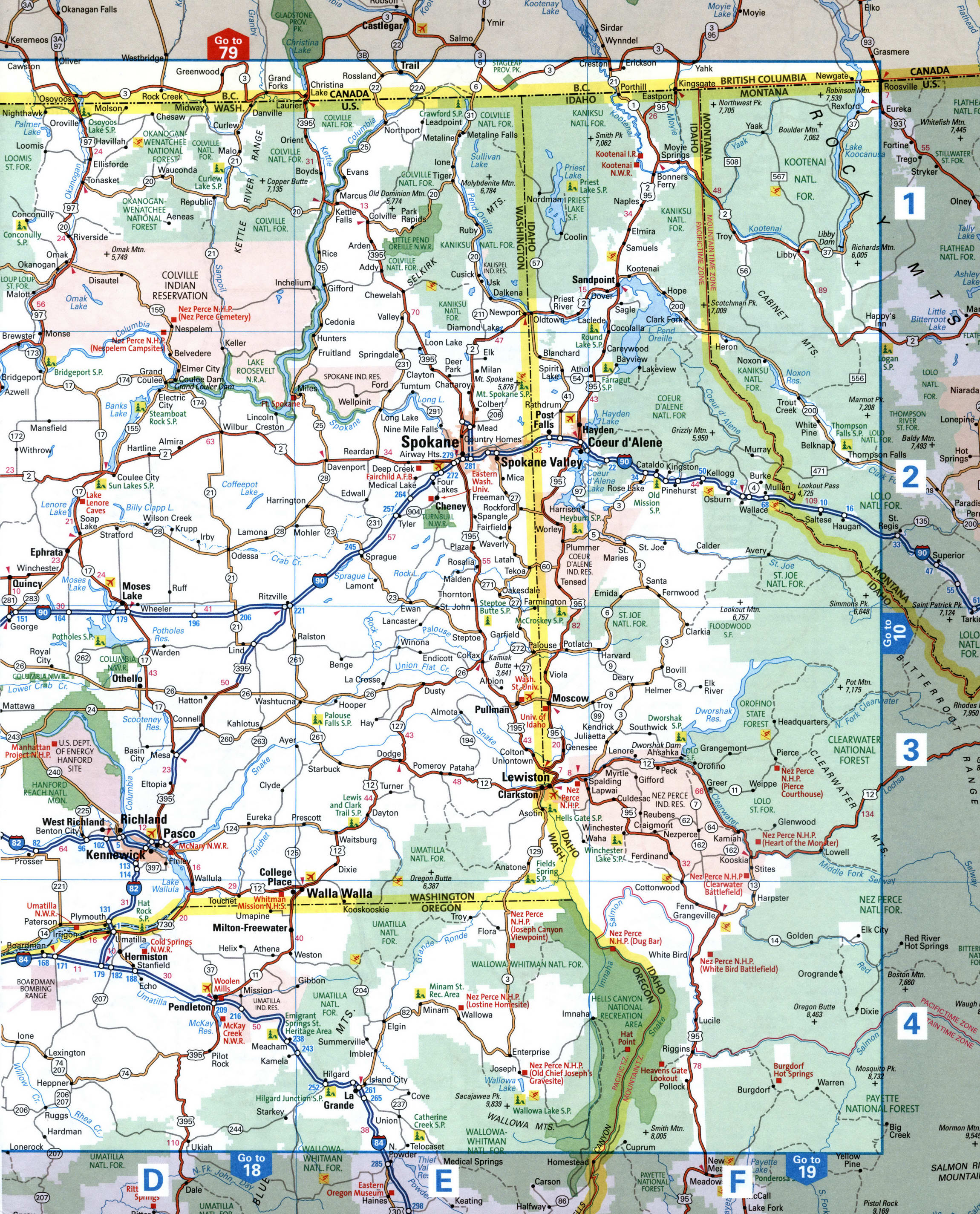
Map of Washington State at the border with Idaho. Washington State road map with cities and towns
Big map of the Spokane and Lewiston area. Map of Roads in Washington and Idaho State
Detailed map of the eastern part of Washington State, western part of Idaho, USA.
A large-scale map of western Idaho and eastern Washington with cities and towns.
Map of Idaho and Washington State in pdf or jpg format download and print.
