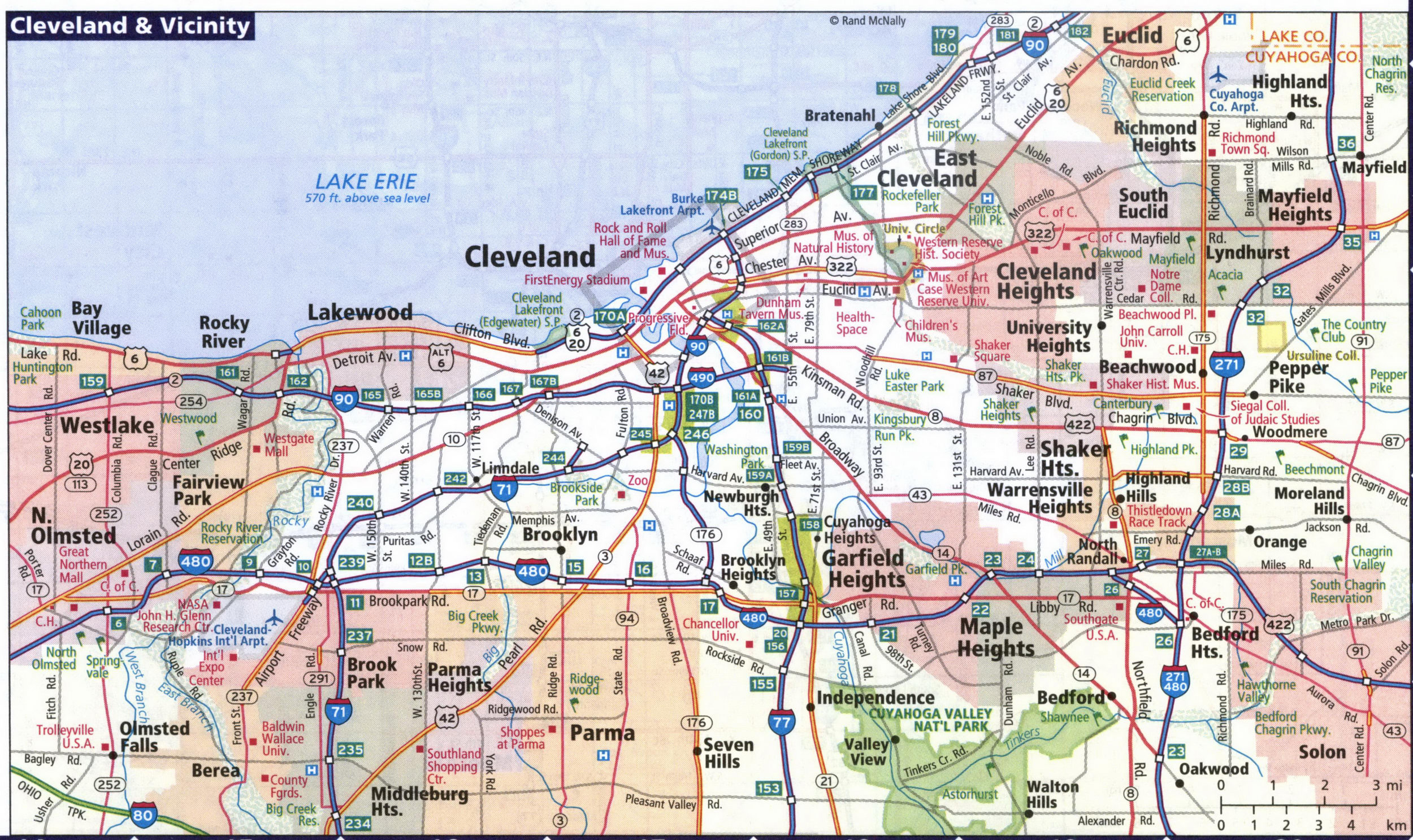
Map of Cleveland area Ohio and surrounding cities Westlake, Lakewood, Parma, Euclid, Maple Heights, Olmsted Falls
Detailed map of Cleveland area
Map of the city of Cleveland and its vicinity. Road map of Cleveland and nearby cities Westlake, Lakewood, Parma, Euclid, Maple Heights, Olmsted Falls. Map of the highway network in Cleveland Ohio and surrounding areas. All images are printable.

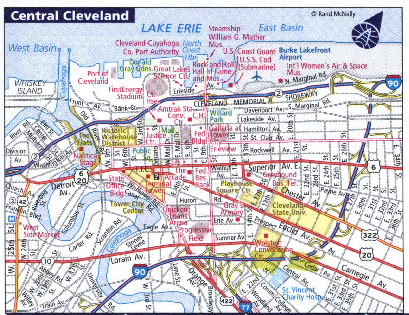
Detailed map of streets and highways of the city of Central Cleveland.
