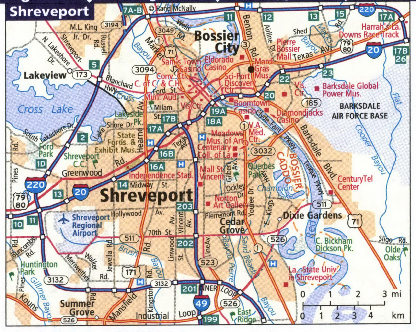
Detailed maps of the cities of Baton Rouge, Lafayette, Lake Charles, Monroe, New Orleans, Shreveport LA
Maps of all major cities in Louisiana: Baton Rouge, Lafayette, Lake Charles, Monroe, New Orleans, and Shreveport LA
Louisiana's largest cities are Baton Rouge, Lafayette, Lake Charles, Monroe, New Orleans, Shreveport LA. Maps of the roadways of these cities are shown here. Cities are arranged in alphabetical order. All images are printable.
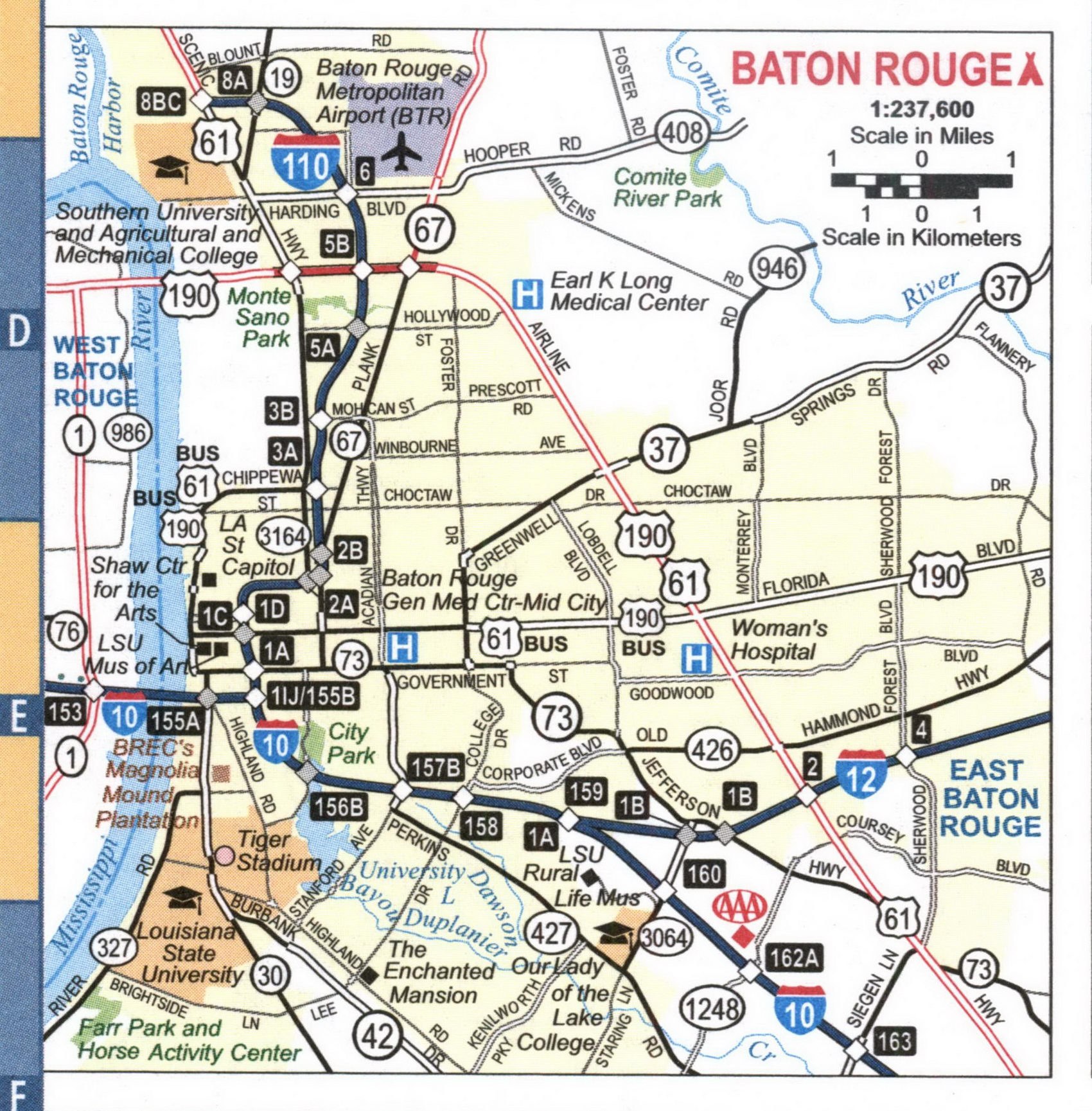
Map of highways and local roads in the city of Lafayette, Louisiana
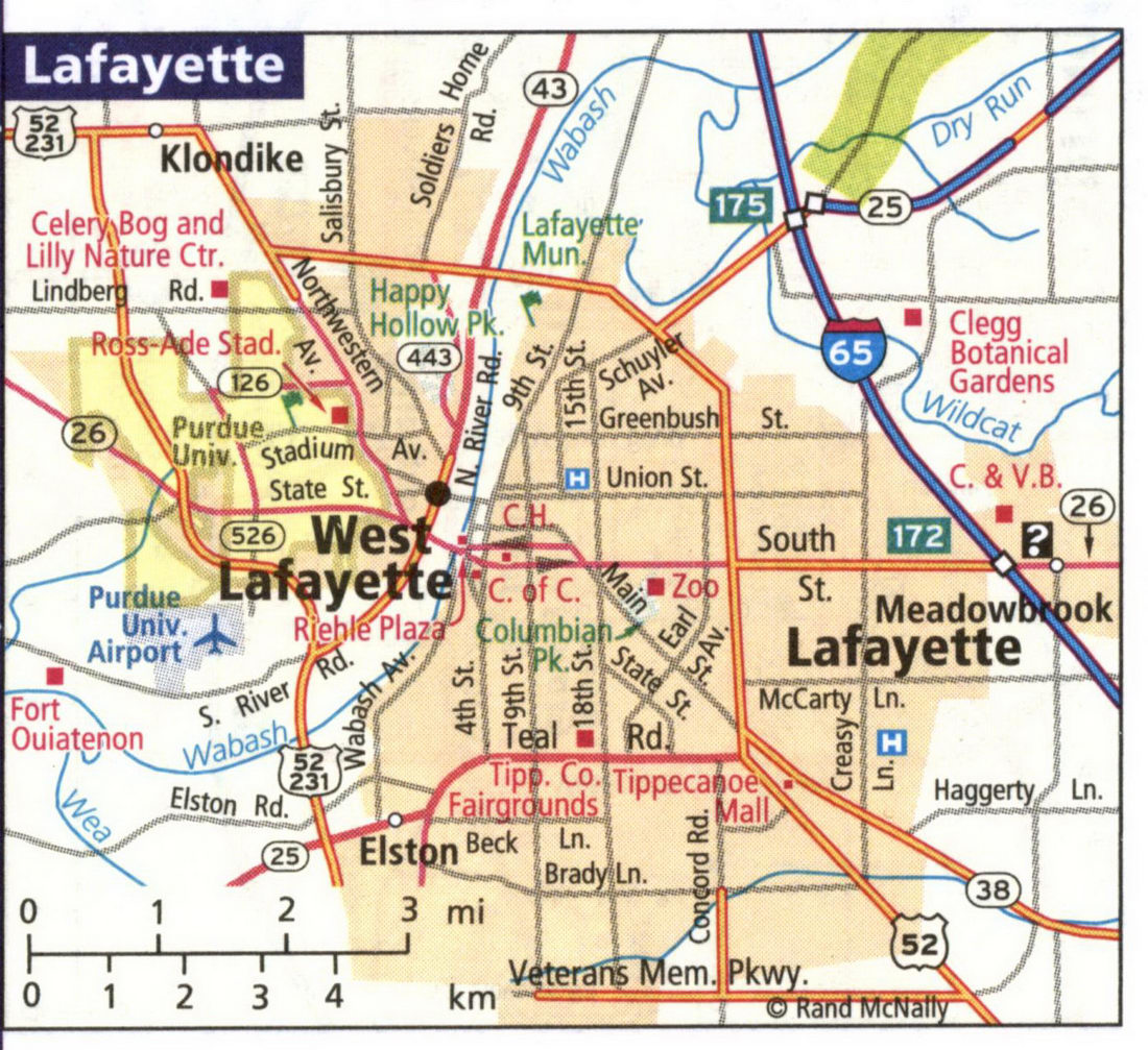
Map of highways and local roads in the city of Lake Charles, Louisiana
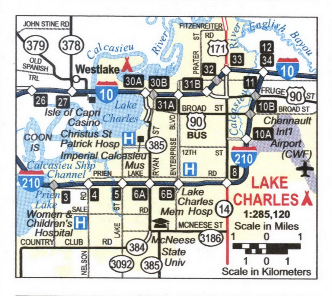
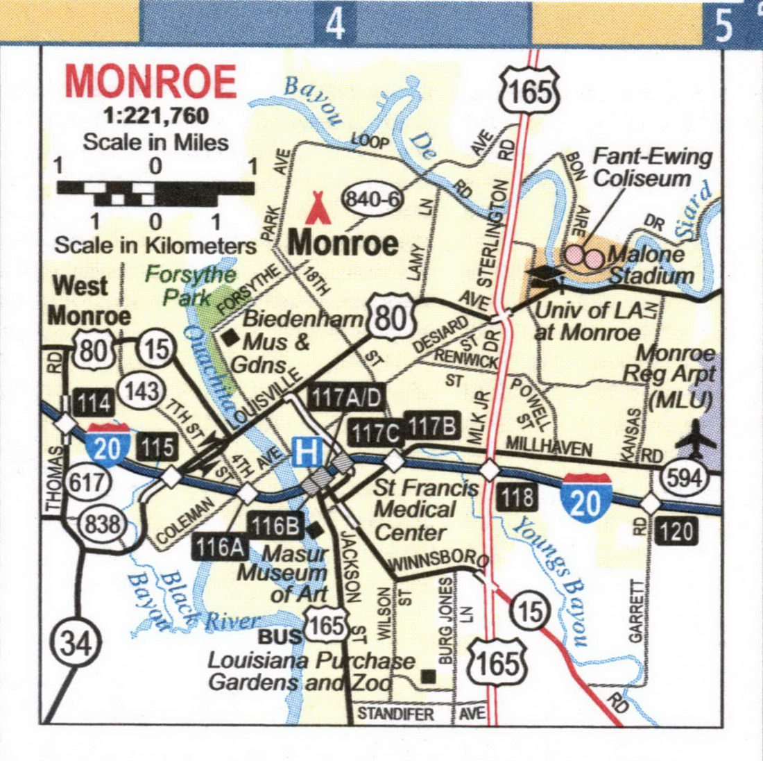
Map of highways and local roads in the city of Monroe, Louisiana
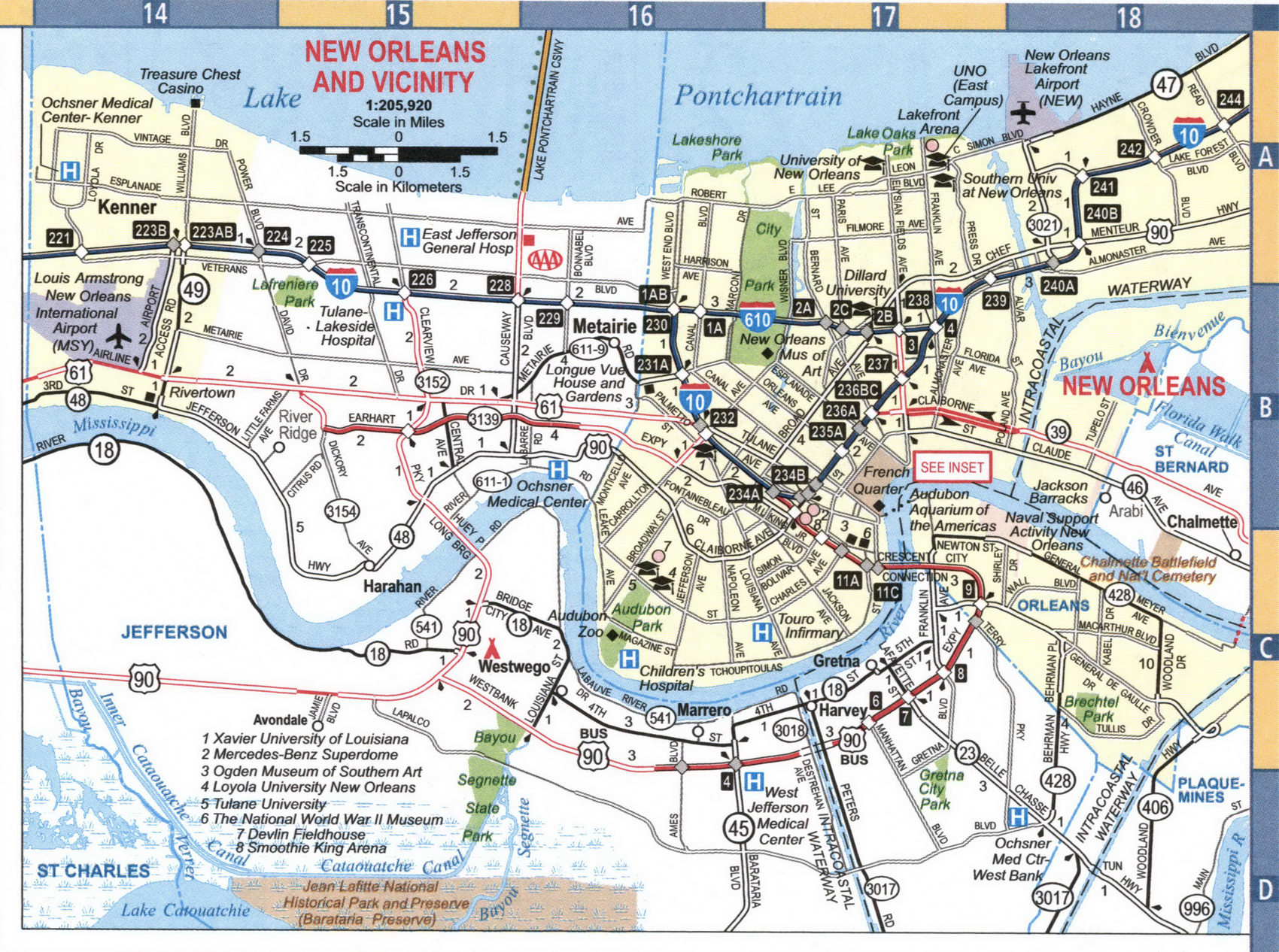
Map of highways and local roads in the city of New Orleans, Louisiana's largest city
Map of highways and local roads in the city of Shreveport, Louisiana
