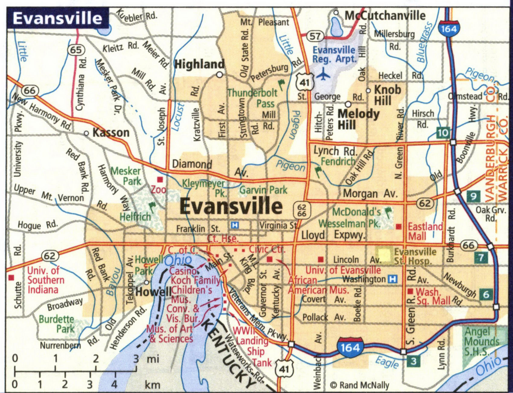
Detailed maps of the cities of Evansville, Ft Wayne, Indianapolis, South Bend, Terre Haute IN
Maps of all major cities in Indiana: Evansville, Ft Wayne, Indianapolis, South Bend, and Terre Haute IN
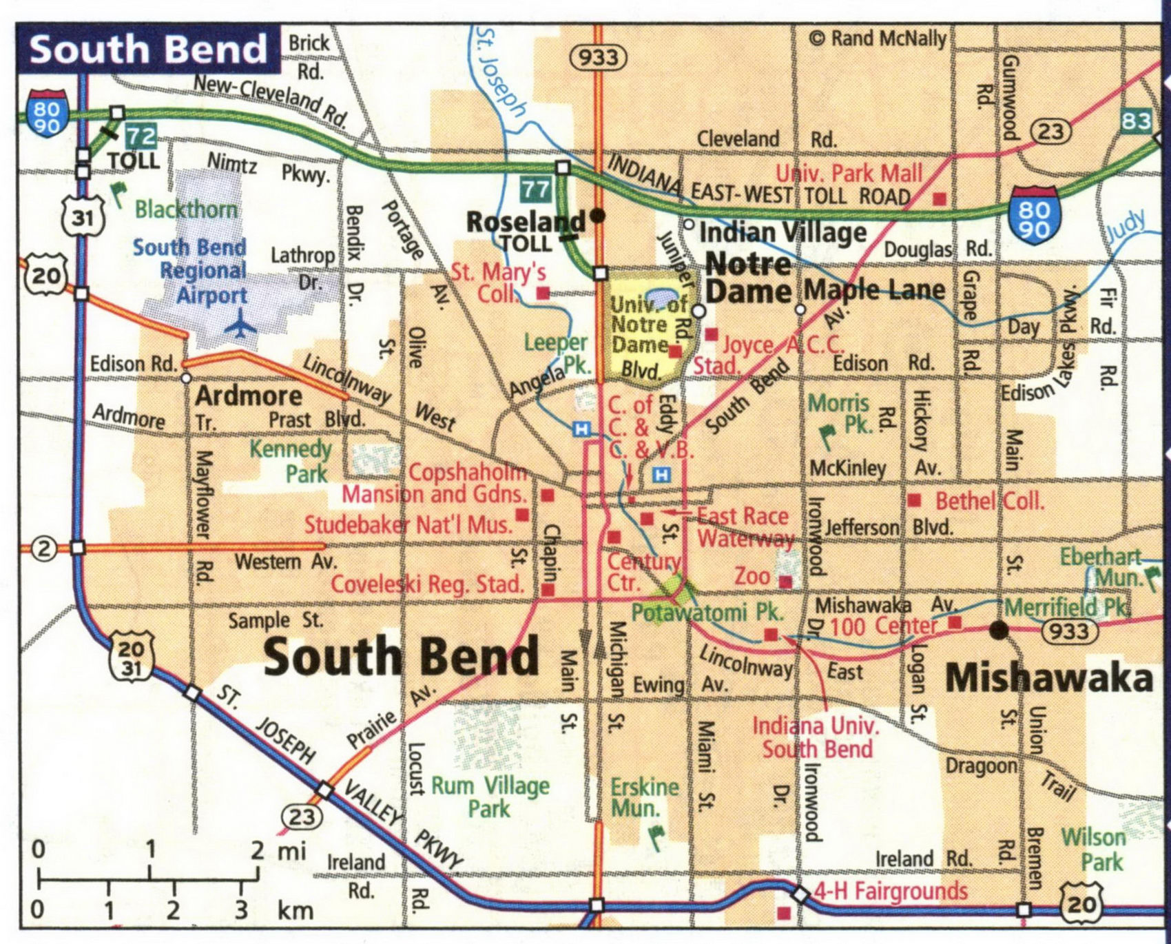
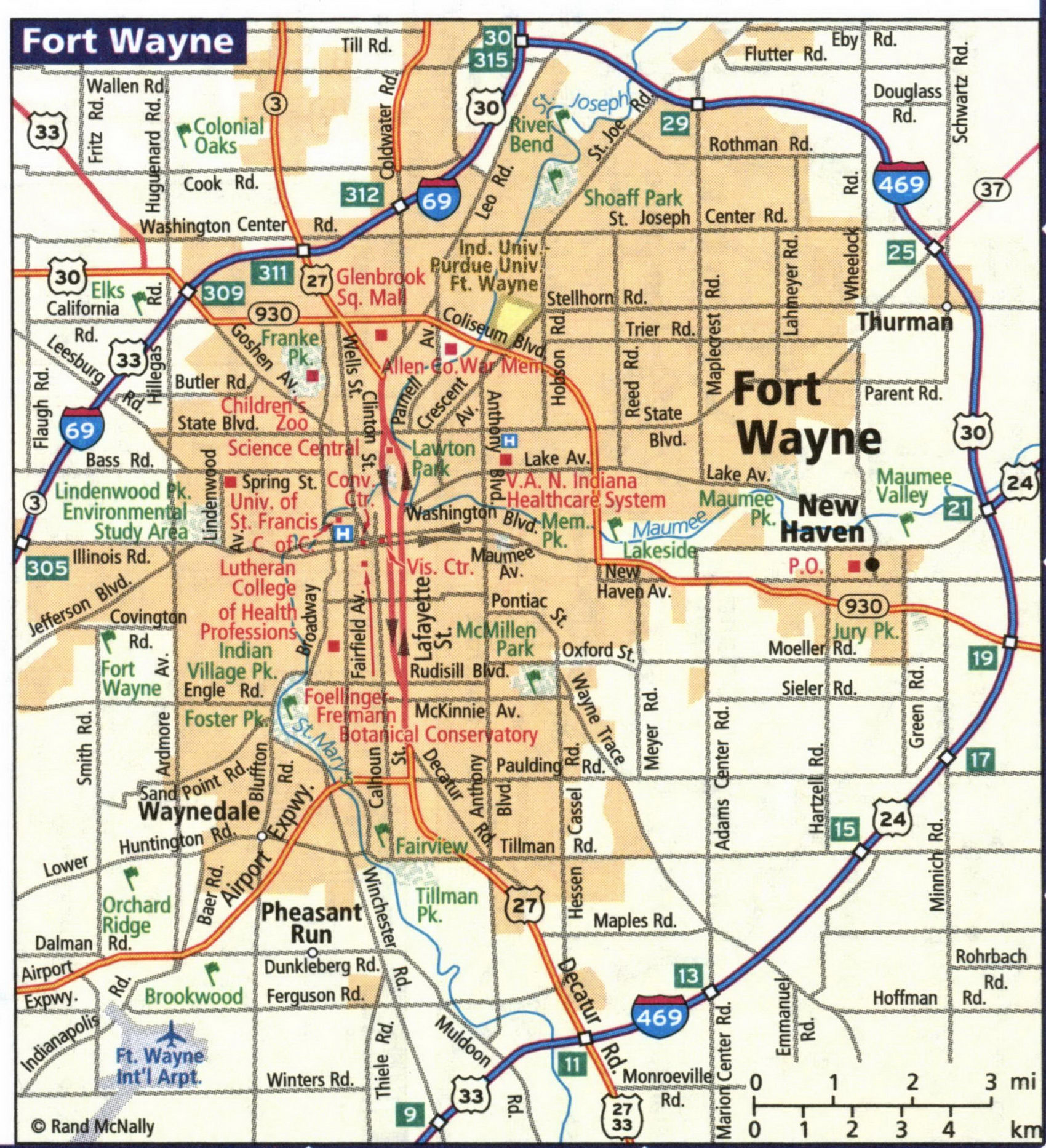
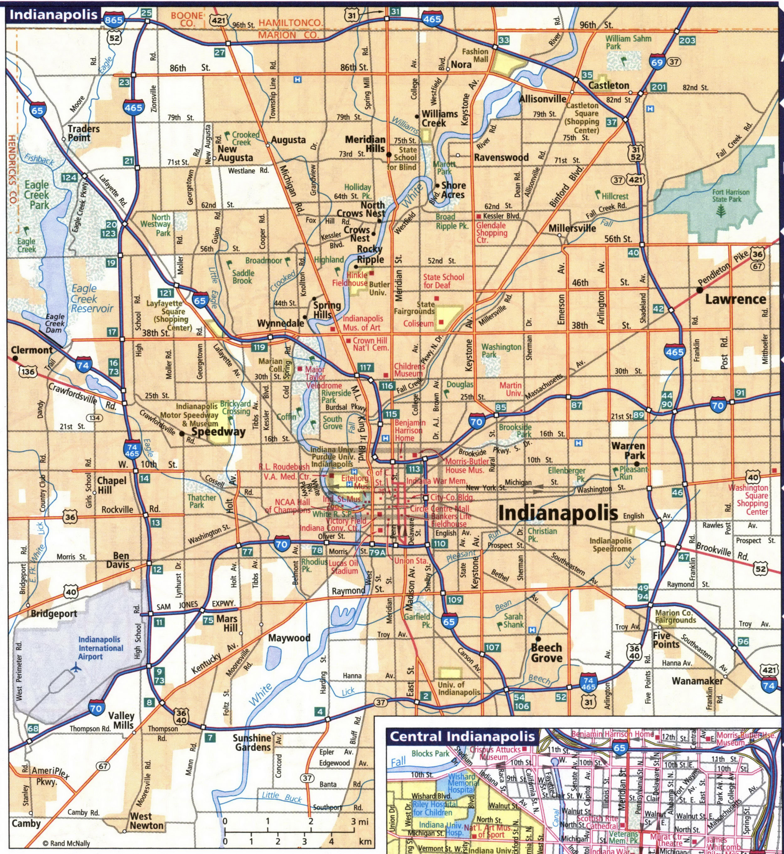
Indiana's largest cities are Evansville, Ft Wayne, Indianapolis, South Bend, Terre Haute IN. Maps of the roadways of these cities are shown here. Cities are arranged in alphabetical order. All images are printable.
Map of highways and local roads in the city of Fort Wayne.
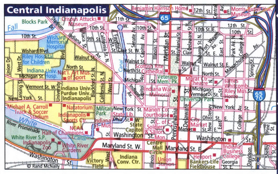
Map of highways and local roads in the city of Indianapolis, Indiana's largest city
Map of highways and local roads in the city of South Bend.
